
Meera Bhardwaj:
In view of rising forest encroachments, the Karnataka High Court has directed development of a unified, tech-platform for factual verification of all land related information. The High Court said the solution lies in a radical transformation from digitization to a unified, integrated technological platform that serves as a single source of verifiable and credentialed truth for all land related information.
This wide-ranging order of the Karnataka High Court has come in the wake of a four-decade old litigation on encroachment in Bhuvanahalli State Forest in Devanahalli Range, Bengaluru Rural Division. The long legal tussle between forest department and encroachers has risen due to land ownership disputes, confusion in numbering of survey numbers, records digitized but not integrated, errors in land records of revenue department with forest department, absence of a single, authoritative and consolidated database, and other issues.
Justice Suraj Govindaraj of the Karnataka High Court has given a long list of measures to be taken up by the State Government which has to be implemented in a time bound, phased manner. And they include:
- GIS Mapping of land parcels
- Digitised, unified, mapping of lands
- Utilisation of high-resolution satellite imageries from FSI & ISRO for this work
- This can result in digital demarcation and geo-tagging of all notified forest boundaries and previous historical gazette notifications.
- Mapping of forest cover by utilizing remote sensing data for monitoring forest status at the state level.
- This unified map must be integrated with all other land related data, especially of cadastral maps of Revenue department, master plans of planning authorities and other public and private land records.
ULPIN FOR EACH LAND PARCEL
The Karnataka High Court has also called for assignment of a Unique Land Parcel Identification number (ULPIN) or Bhu-Aadhar, thereby linking all textual, spatial and legal records to a single immutable digital identity.
QR CODE ENABLED
Further, these land records must be QR-Code enabled and also date and time stamped in order to enable verification by public.
AUTOMATED SYSTEM
Also build an automated system on the integrated geospatial platform to streamline all land related applications, ensuring that no action occurs without mandatory, real time verifications against the unified database.
CONFLICT ALERT PROVISION
The conflict alert provision will automatically refuse registration of a land parcel wherein land disputes or litigation is involved. This will be linked to the Sub-registrar’s office to prevent the registration of any sale deed for a land parcel with conflict alert if it is a forest land.
TIME-BOUND STATE-WIDE PROJECT
The court has directed all the concerned departments to undertake a time bound state-wide project to reconcile all historical documents, old and all gazette notifications, any conversion records and all related revenue documents.
MANDATORY ADOPTION OF ULPIN
The High Court has directed the state govt to ensure mandatory adoption of ULPIN for all land parcels which will serve as the key to link all textual, spatial and legal data for each and every parcel of land. This will ensure data integrity and prevent future discrepancies.
SETTING UP OF HIGH-LEVEL CELL
Setting up of a dedicated high-level cell will become mandatory, the Karnataka High Court said and this will comprise representatives of forest, revenue, urban planning departments who will be under the direct supervision of the state’s chief secretary.
PUBLICLY ACCESSIBLE PORTAL
The unified platform will have a publicly accessible portal to gain the confidence of the citizens. And anybody wanting to purchase a land can ascertain the history and records by putting the ULPIN number and know whether to buy this parcel of land or not and whether it falling in the forest boundary or no-development zone or reserved for any public purpose.
DIGITAL DEMARCATION OF FOREST BOUNDARIES
All forest boundaries have to be geo-tagged and digitally demarcated by the Karnataka Forest Department based on historical gazette notifications.
MANDATORY GEO-VERIFICATIONS
The forest department has been barred from issuing any notices or prosecutions for alleged encroachments without first verifying the land parcel’s location against the unified, geo-referenced database. Once the system is set up, all future notices must explicitly include the ULPIN number and geo-referenced map.
TIME-BOUND IMPLEMENTATION
The implementation of all these directions by the Karnataka High Court is time bound and must be done in a phased manner (Phase-1 to Phase-3) from within three months and one year to two years.
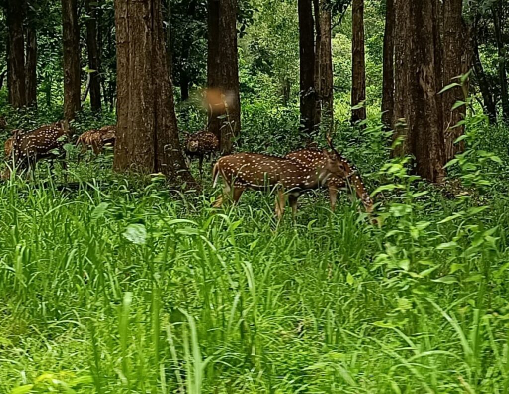
BHUVANAHALLI STATE FOREST ENCROACHMENT
The writ petition was filed on 4.1.2021 by builder Mohammed Sanaullah and four others and a real estate company, Prakruti Century Properties which was dismissed by the High Court on Monday. According to the High Court, they had encroached upon forest land in the Devanahalli Range as the historical records of 1921 proved it.
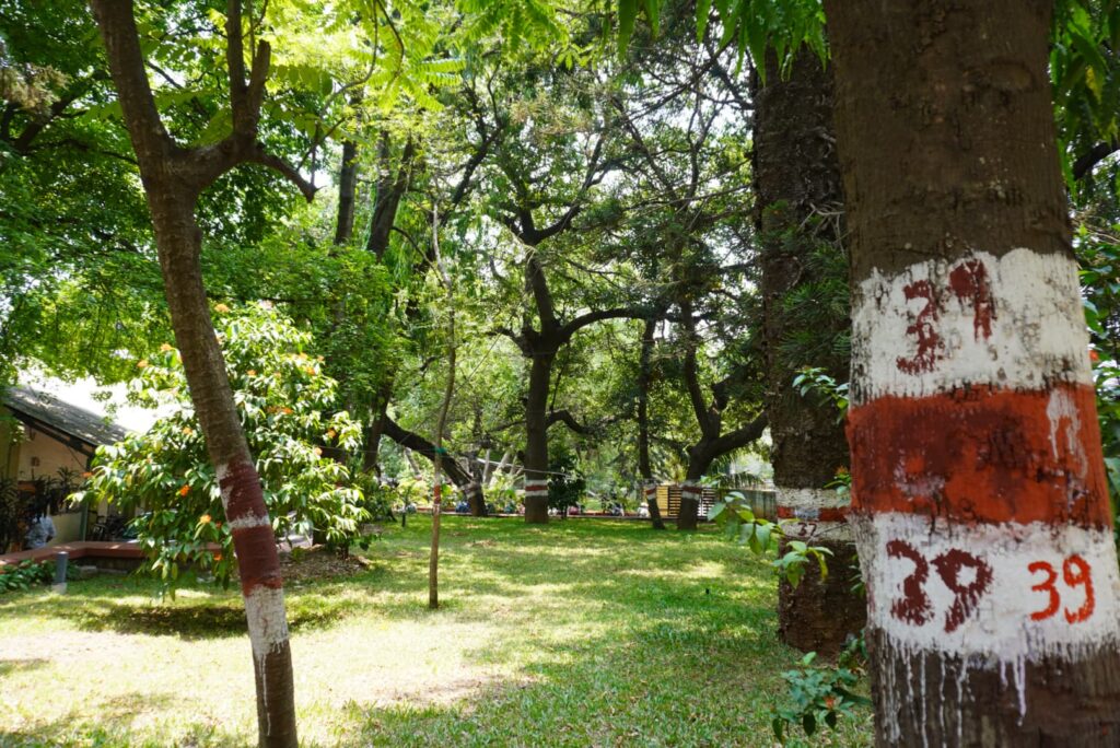
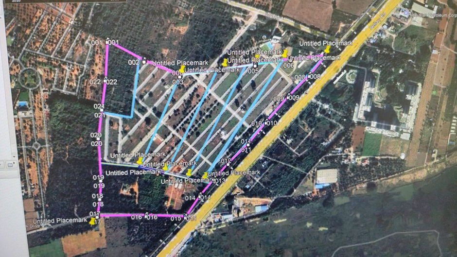
Further, this encroached land is part of the Bhuvanahalli State Forest which had been declared as a state forest on 8 January, 1921 through a government notification. The total area of the Bhuvanahalli State Forest is about 59.08 acres. Out of this, about 16.18 acres falls in Survey number: 66 (new number: 68). Another patch of 34.9 acres falls in Survey no: 67 (new number: 69). The total area of the forest land in these survey numbers is about 50.27 acres and is located in Chikkasanne village, Devanahalli Range.
Dismissing the writ petitions, the High Court has allowed the petitioners 15 days’ time to place on record whatever mitigating factors available during the eviction time and place before the Karnataka Forest Department.
Although the writ petitions have been dismissed, the case has been listed for further hearing on 27 October, 2025 on due compliance of the general directions given by the Karnataka High Court.