
Meera Bhardwaj
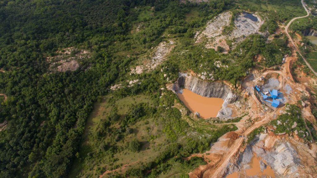
Even as thousands of hectares of protected and reserve forests have been diverted for mining, energy and infrastructure projects and lakhs of trees felled for road and highway projects followed by an afforestation program lacking basic ecological considerations, the Forest Survey of India(FSI) comes out with its biennial report claiming a combined forest/tree cover of 24.56 per cent. But how much of this is bamboo, rubber, coconut, teak, silver oak or any other single species plantation in farmlands is the million dollar question? On top of this, out of the recorded forest area (RFA) of7.28 lakh sq kms, nearly 2.15 lakh sq km (that is 30 per cent) has no forest cover.
The 2019 Indian State of Forest Report (ISFR) also shows that Forest Cover within the RFA/GW (green wash) does not show an increase but in fact, a whopping decrease of 330 sq km (0.05%). Further, most ‘forest lands which were diverted’ for various projects like nuclear/hydro/thermal are still being calculated as RFA despite its disappearance.
Added to this, the current assessment also shows a decrease of ‘741 sq km of forest cover’ within the RFA/GW in the tribal districts. Further, in the North Eastern states, the present assessment shows a further decrease of forest cover to the extent of 765 sq km. Taking all this into consideration, how can one pat their back is beyond explanation, says a well-known ecologist.
Forest Encroachments
Presently, 12,89 lakh hectares of forest lands have been encroached in MP, Assam, Odisha, Uttarakhand, Maharashtra and many other states. The FSI claims of increase in forest cover are all outside the RFA or GW which they say 4,306 sq km of ‘forest’ cover and an increase of 1922 sq km outside the tribal districts. In the present assessment, total carbon stock in forest is estimated as 7,124.6 million tonnes. With an increase in forest cover, the Report claims there is an increase of 42.6 million tonnes in the carbon stock of the country as compared to the last assessment of 2017. The annual increase is 21.3 million tonnes, which is 78.1 million tonnes CO2 equivalent, the report added.
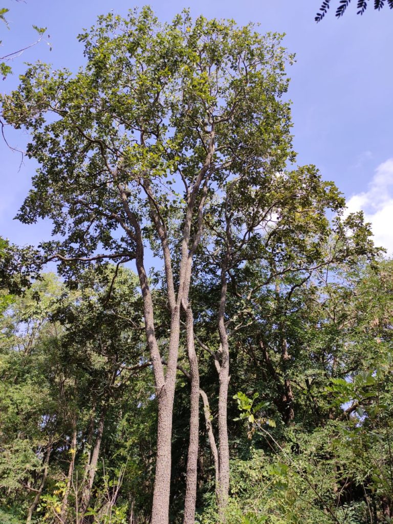
It is amazing that once again satellite imageries of varying land patterns that inimically showed ‘green cover’ has been taken up as increase in ‘forest cover’ of India without making a proper ground assessment. This seems to include plantation crops, bamboo and cultivation of single tree species like teak, silver oak, acacia, etc. As everybody is familiar how farmers have taken up cultivation of these under various government schemes across the country.
Forest Definition
Unfortunately, as per FSI, the definition of country’s forest cover includes all patches of land with a tree canopy density of more than 10 per cent and more than 1 ha in area, irrespective of land use, ownership and species of trees. Further, it has been assessed by a wall-to-wall mapping exercise using remote sensing technique followed by intensive ground truthing, the report says.
Meanwhile, the tree cover has been assessed following a methodology involving remote sensing based stratification and observations based on sample plots in the strata as part of the National Forest Inventory. Tree cover includes all patches of trees less than 1 ha. For the current assessment, ground truthing has been carried out at more than 2,200 locations across the country in a two year period, the report outlines.
Carbon Sequestration
The ISFR also says FSI has carried out a comprehensive study to assess the magnitude and scale of actions required to create an additional carbon sink of 2.5-3 billion tonnes of CO2 eq by 2030 through additional forest and tree cover which is one of the commitments made in India’s NDC. Since 2001, FSI has been assessing the tree cover outside the forests which is a major source of meeting the local demands of timber, fuel wood and fodder.
Further, Dr Subhash Ashutosh, DG, FSI states, “ISFR 2019 presents the results of forest cover mapping with a refined methodology, though consistent with the past assessments. A manual for forest cover mapping has been prepared for the first time. Similarly, it is the first presentation of estimates from the new grid based forest inventory design adopted by FSI in 2016 with higher sampling intensity and precision. Several new studies have been undertaken like assessment of biodiversity in the country’s forests, assessment of people’s dependence on forests for fuel wood, fodder, small timber and bamboo, forest cover on slopes and wetlands in forests.”
Top States
As per FSI, the top five States in terms of increase in forest cover are Karnataka (1,025 sq km), Andhra Pradesh (990 sq km), Kerala (823 sq km), Jammu & Kashmir (371 sq km) and Himachal Pradesh(334 sq km). However, many environmentalists and green experts say, “This has been the bane of many surveys done in the country claiming hypothetical greening across states that has happened on private or government land, agro-forest or plantation or commercial lands. The sorry state of affairs in the country is while large tracts of “natural forests” which has taken billions of years to form has been converted for railway lines, iron and steel, mining, quarrying and power plants, single species plantation lands are being classified as forests.”
Lakhs of hectares of forest land which are sources for birth of hundreds of rivers and tributaries have been lost in the country but till date no assessment has been done of the irreparable loss. The government has not realized it is not possible to create or replicate “natural forests” while ‘easing out all clearance procedures’ for diversion of forests and in the same breath, talks about compensatory afforestation being the all-round solution for solving global climatic changes.
Forest Clearances
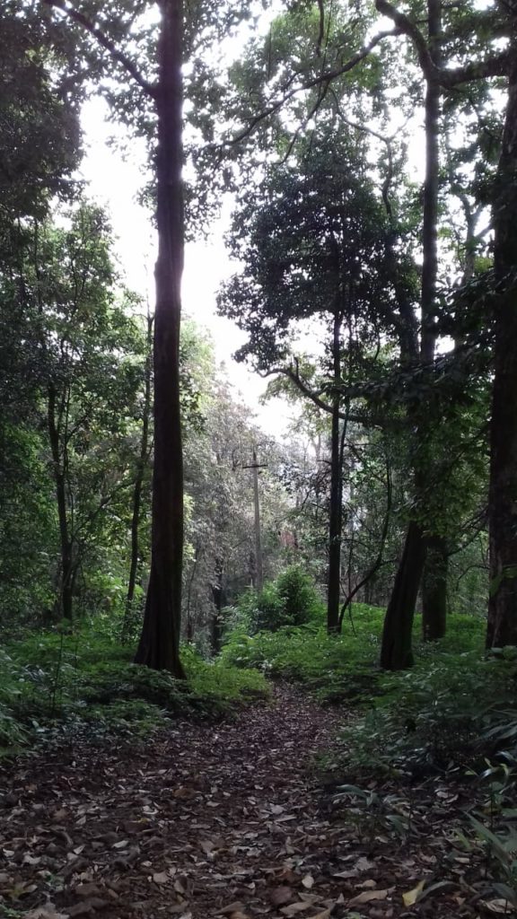
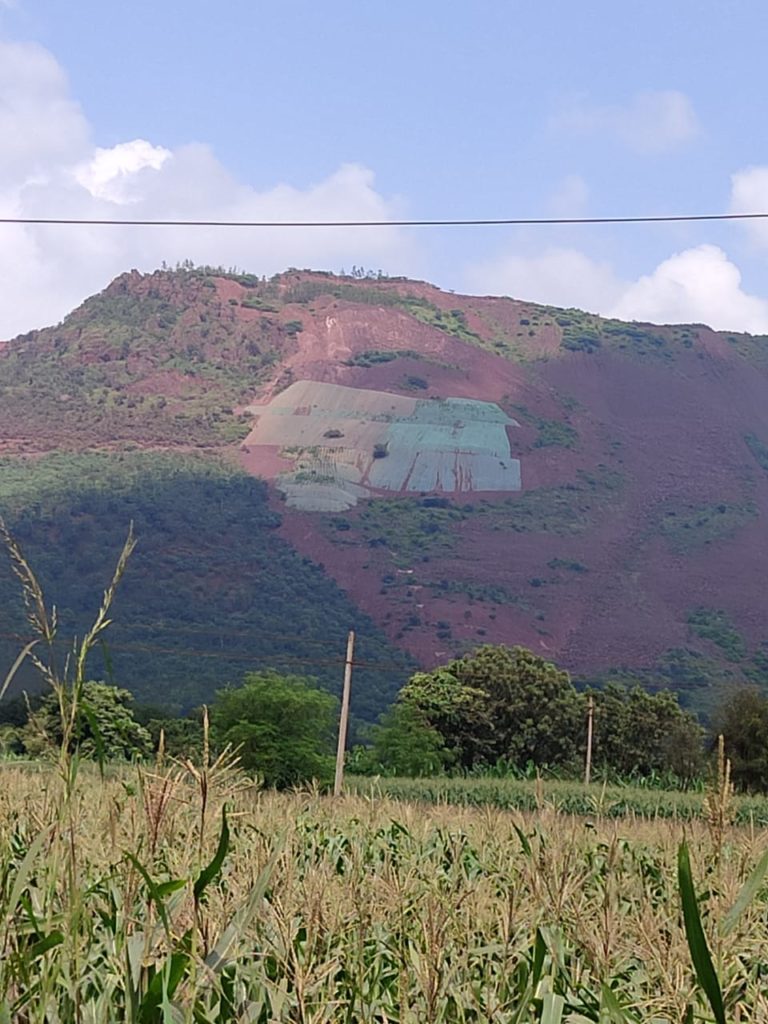
If hundreds of hectares of pristine forest land were cleared for Kaiga Nuclear Power Plant in the Western Ghats, how does it answer or bring in eco-solutions by planting a few tree species in the dryland areas of northern Karnataka as compensation. It’s high time the government realized there is no replacement for the World Biodiversity Hot Spot of Western Ghats as they have been clearing linear projects rampantly unable to gauge the serious consequences. No compensatory afforestation can bear this massive ecological loss, experts warn.
The past few decades in the aftermath of the enactment of forest and wildlife laws, successive state governments have cleared “natural forests” at an unbelievable pace for mining/other activities in states like Madhya Pradesh, Chattisgarh, Maharashtra, Gujarat, West Bengal, Uttarakhand, Kashmir, Kerala, TN and Karnataka without a break. On top of this, the government has come out with a useless compensatory afforestation programme with no ecological or scientific ramifications which has led to accumulation of lakhs of crores of rupees in CAMPA funds.
Afforestation Program
There is no accountability or any check on how this afforestation program is being implemented across the country, says a forest official. Now is it possible to regain the loss of natural forests in the form of ‘artificial forests of one ha with one species’? If Himalayan and central forests and Western Ghats have been denuded systematically, how can these so called afforestation programs in some other area compensate for loss of rain forests lost in other area is the moot question?
Ground Reality
In the background of this, the forest cover survey done by the government with its statistics of increased cover in some five states starting from Karnataka cannot be considered, say some committed forest officials on the ground. While former forest officials say, “The report claims that range increase in forest cover have been observed in ‘open forest’ followed by very dense forest and moderately dense forest. And the top three states showing increase in forest cover are Karnataka (1,025 sq. km) followed by Andhra Pradesh (990 sq km) and Kerala (823 sq km). This is open for debate and cannot be taken into consideration.”
In a span of few years, the report claims of huge increase of cover – now what is this cover – the species (is it commercial monoculture plantations under CAMPA) – what kind of habitat – there are no answers to many of these questions?Overall, looking through the fine printed lines of the report, it does not bode well for forest cover in the country as there’s net loss of biodiversity rich forest cover in the north eastern states. Further, there’s loss of 330 square kilometers of RFA. Although FSI records an additional Tree Cover but in the process, we have lost natural forests for infrastructure development across the country, so there is less Carbon Sequestration capacity of the ‘existing forest cover’ in the country.
FSI Survey Details
Forest Cover : 21.67 %
Tree Cover : 2.89 %
————————————-
Total Area 24.56 %
Area Increase
Green Cover Area : 80.73 million hectares
Increase in Area: 5188 square kilometers
Forest Definition
Very Dense forests – Canopy density of more than 70%
Moderately Dense – Canopy density of 40-70%
Dense forest – Canopy density of 40% or more
Open forest – Canopy density of 10-40%
Scrubs – Canopy density less than 10 %
Comment here